Hargeisa to Berbera: The Road from the Highlands to the Sea
The drive from Hargeisa to Berbera takes you about 160 km, from a highland capital to a hot port on the Gulf of Aden. Here is what you pass, where to stop and how to make the most of the journey.
TRAVEL · ROUTE GUIDE
Some journeys are just a way to get somewhere. This one is part of the trip. In a single day, you leave a cool upland city, pass painted rock shelters thousands of years old and drop to a coastal plain whose name means heat. At the end of the road, the sea is waiting. This guide follows the drive stage by stage.
Hargeisa to Berbera at a glance
Here are the basics of the route. Figures are approximate.
| Distance | About 160 km |
|---|---|
| Start | Hargeisa, at about 1,334 metres |
| Finish | Berbera, on the Gulf of Aden |
| Main stop | Laas Geel rock art, about 50 km from Hargeisa |
| How to travel | Car with a driver and a police escort |
| Most comfortable months | November to March, when Berbera’s average highs stay at or below about 31 °C |
Leaving the highlands
The day starts high. Hargeisa lies in a valley of the Galgodon (Ogo) highlands, and its altitude keeps it from extreme heat. Average monthly temperatures there run from about 18 °C to 24 °C.
Heavy lorries now have their own way round the city. The UK funded a 22.5 km Hargeisa bypass, worth US$23 million, through TradeMark Africa. It was built to ease congestion and speed goods between Berbera port and the Ethiopian border.
As the city thins out, the road heads north-east towards the coast. This is the first leg of the drive from Hargeisa to Berbera, and the land opens up quickly.
First stop: Laas Geel
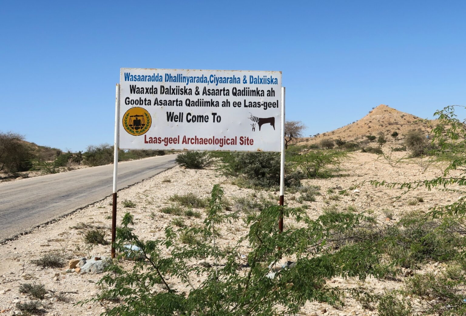
Most travellers stop at Laas Geel on the way. Former US ambassador John Price described the site as about three miles off the main road to Berbera, near a dry riverbed. The last stretch is a rough track that needs a four-wheel-drive car.
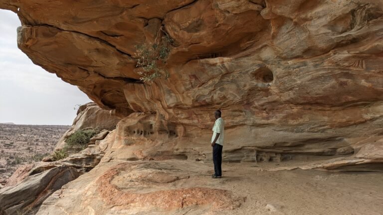
The rock art makes the detour worthwhile. Ten rock shelters hold paintings roughly 5,500 to 4,500 years old, showing long-horned cattle, people and wild animals. Allow a couple of hours, and read our guide to visiting Laas Geel before you set off.
Between the two cities lies the town of Da’ar buduq. According to Wikipedia, it sits north-east of Hargeisa and south-west of Berbera, just west of the Adadleh hills. It is a reminder that this is a lived-in corridor, not an empty road.
Down to the Guban
Then the land falls away towards the sea. The coastal plain here is the Guban, a name that comes from the Somali root gub, meaning to burn or scorch. Most of it lies below 100 metres, and it gets only about 50 mm of rain a year.
The plain is far from lifeless, though. Seasonal riverbeds called tugs mark where floods from the highlands run after rain. According to Wikipedia, that water recharges groundwater that feeds shallow wells. The plain runs east as far as Berbera.
You will feel the change through the window. On the coast, average highs reach about 43 °C in June and July, against a mild 24 °C average in Hargeisa in June. Keep water in the car.
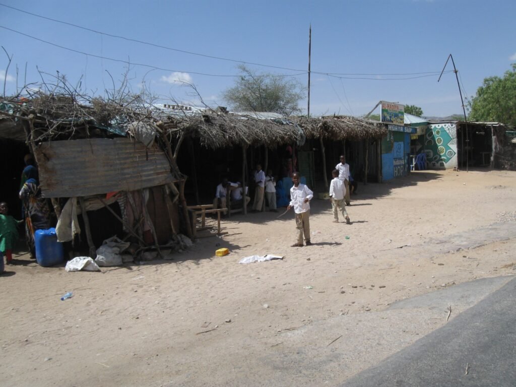
Rebuilding the Hargeisa to Berbera road
The Hargeisa to Berbera road is part of the Berbera Corridor, the trade route between Berbera port and Ethiopia. It has seen years of investment.
Work began with a groundbreaking in February 2019, when TradeMark Africa reported plans for a 250 km road from Berbera to the Ethiopian border. The UAE has funded much of it through the Abu Dhabi Fund for Development. In March 2022, the first bridge on the Berbera–Hargeisa corridor opened, 105 metres long.
The work continued after that. In 2024, the fund described the project as in progress, including a 16 km stretch from Berbera’s city centre to the highway entrance. So expect smooth new tarmac on some sections and roadworks on others.
Arriving in Berbera
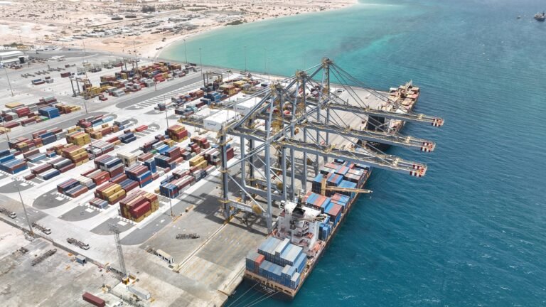
The last kilometres bring the first view of the sea. Berbera is the end point of the roads from Hargeisa and Burao.
Arrive in the afternoon and head straight for the water. A swim at Batalaale beach is a fine way to end the drive. The next morning, explore the old town and the port with the help of our guide, Berbera: where the desert meets the sea.
Planning the drive from Hargeisa to Berbera
A few practical points make the journey smoother.
- Escort and driver: in December 2025, Ynet reported that any travel outside the capital requires an armed escort from the special police unit. Visitors cannot rent a car and drive themselves. Your hotel can arrange the car, driver and escort.
- Cost: the same report put a day trip at about $150 to $200, for a four-wheel-drive car, driver, guard and fuel. Ask for a quote that covers the whole journey.
- Timing: leave early, so you reach Laas Geel before the heat and Berbera in daylight.
- Season: in Berbera, average highs pass 40 °C from June to August. Winter is far more comfortable.
- Official advice: the UK advises against all but essential travel to Maroodijeh and Sahil, the regions of Hargeisa and Berbera. Check the latest advice before you go, and read is Somaliland safe?
For taxis, buses and other ways of moving around the country, see our guide to getting around Somaliland.
Beyond Berbera
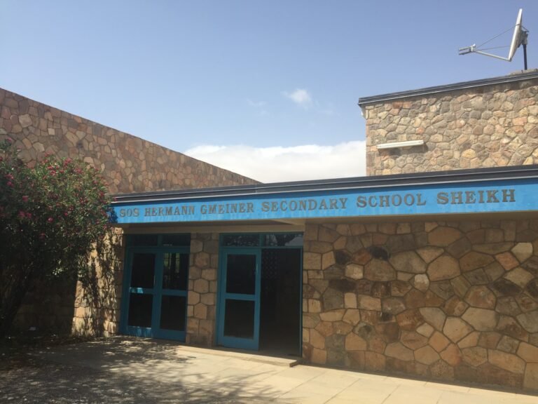
The drive from Hargeisa to Berbera is often the start of a longer loop. From the coast, a winding mountain road climbs to Sheikh, about 71 km away. Spend two nights in Berbera, and you can make that trip too. Then return to the capital the way you came, with fresh eyes for the views.
Sources (14)
- Berbera, Wikipedia (accessed 7 November 2026).
- Hargeisa, Wikipedia (accessed 7 November 2026).
- Rocky future for Somalia’s ancient cave art, AFP via The Express Tribune, 26 June 2016.
- Hargeisa Bypass Road (project brief), TradeMark Africa (accessed 7 November 2026).
- Ancient art in diplomatic limbo, John Price, The Washington Times, 1 May 2013.
- Laas Geel, Wikipedia (accessed 7 November 2026).
- Da’ar buduq, Wikipedia (accessed 7 November 2026).
- Guban, Wikipedia (accessed 7 November 2026).
- Berbera-Ethiopia highway set to turn Somaliland into major regional trading hub, TradeMark Africa, 4 March 2019.
- ADFD announces opening of bridge in key Somaliland corridor, Middle East Construction News, 2 March 2022.
- Completion of the Berbera-Hargeisa Border Road, Abu Dhabi Fund for Development, 6 May 2024, updated 8 July 2024.
- Somaliland, the destination you never thought of visiting and what awaits Israeli travelers there, Roy Elman, Ynetnews, 29 December 2025.
- Somalia: Regional risks, UK Foreign, Commonwealth & Development Office, updated 4 June 2026 (accessed 7 November 2026).
- Sheikh, Somaliland, Wikipedia (accessed 7 November 2026).
Last checked 7 November 2026. Found an error or something out of date? Tell us.